

Kingswear to Brixham – South West Coast Path
All WalksSpanning 630 miles (1014 km), the South West Coast Path covers the full coastline of England’s South West peninsula, from Minehead in Somerset to Poole Harbour in Dorset. With more than 115,000ft of ascent and descent, completing it is equivalent to climbing Snowdon 48 times, Ben Nevis 26 times and Everest 4 times!
This section of the South West Coast Path begins on the River Dart in Kingswear, and ends in the picturesque town of Brixham. There are 290 car parking spaces available at Darthaven Marina (charges apply), though we recommend arriving by public transport for this point-to-point route. Kingswear is easily accessible by bus, and our OS Map route below begins at the Banjo bus stop just a few minutes’ walk from the coast path. Brixham, the end point of our route, is equally accessible by bus and you can take buses in multiple directions from the Town Square stops.
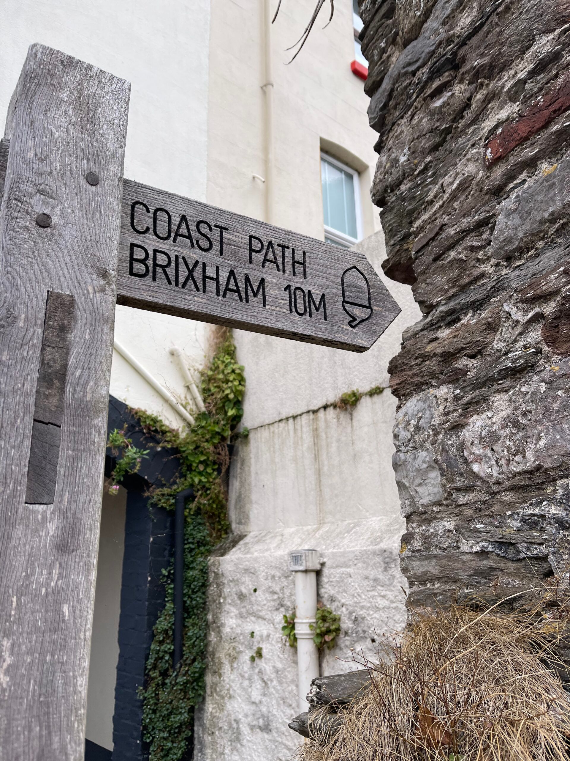
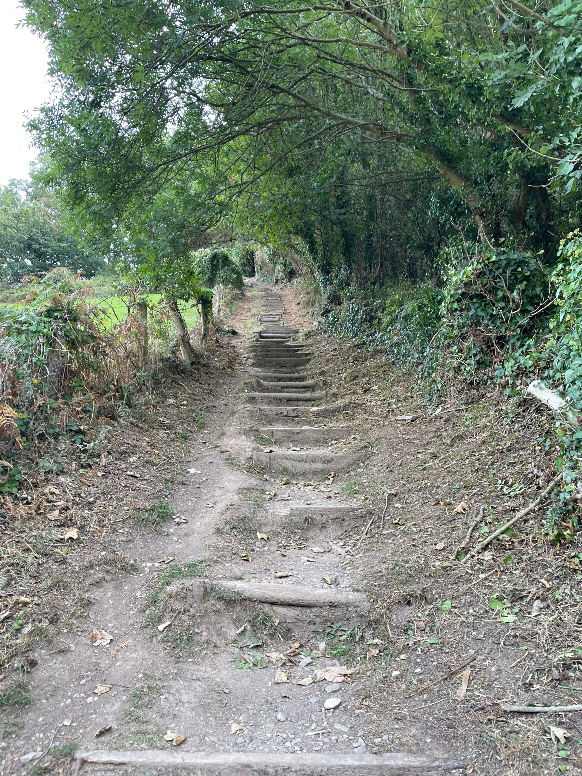
Following our route, you’ll spot your first signpost for the South West Coast Path at Alma Steps (see photo). These steep steps leading you up to the equally sloping Church Hill give you a taste of what’s to come on this route! The sharp ascents and descents, paired with rugged, narrow paths, make up the majority of this route so it’s important not to go into it lightly – more on this below.
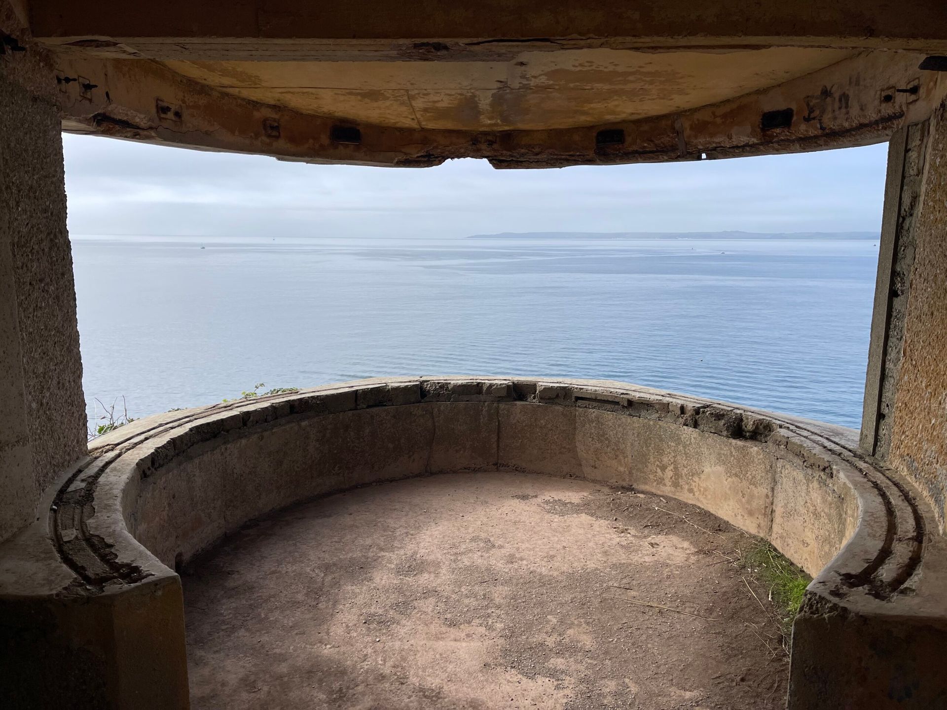
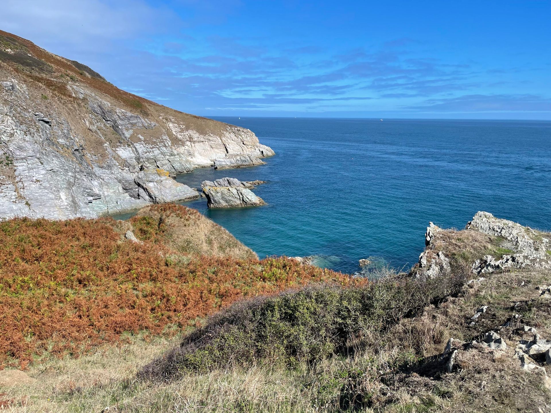
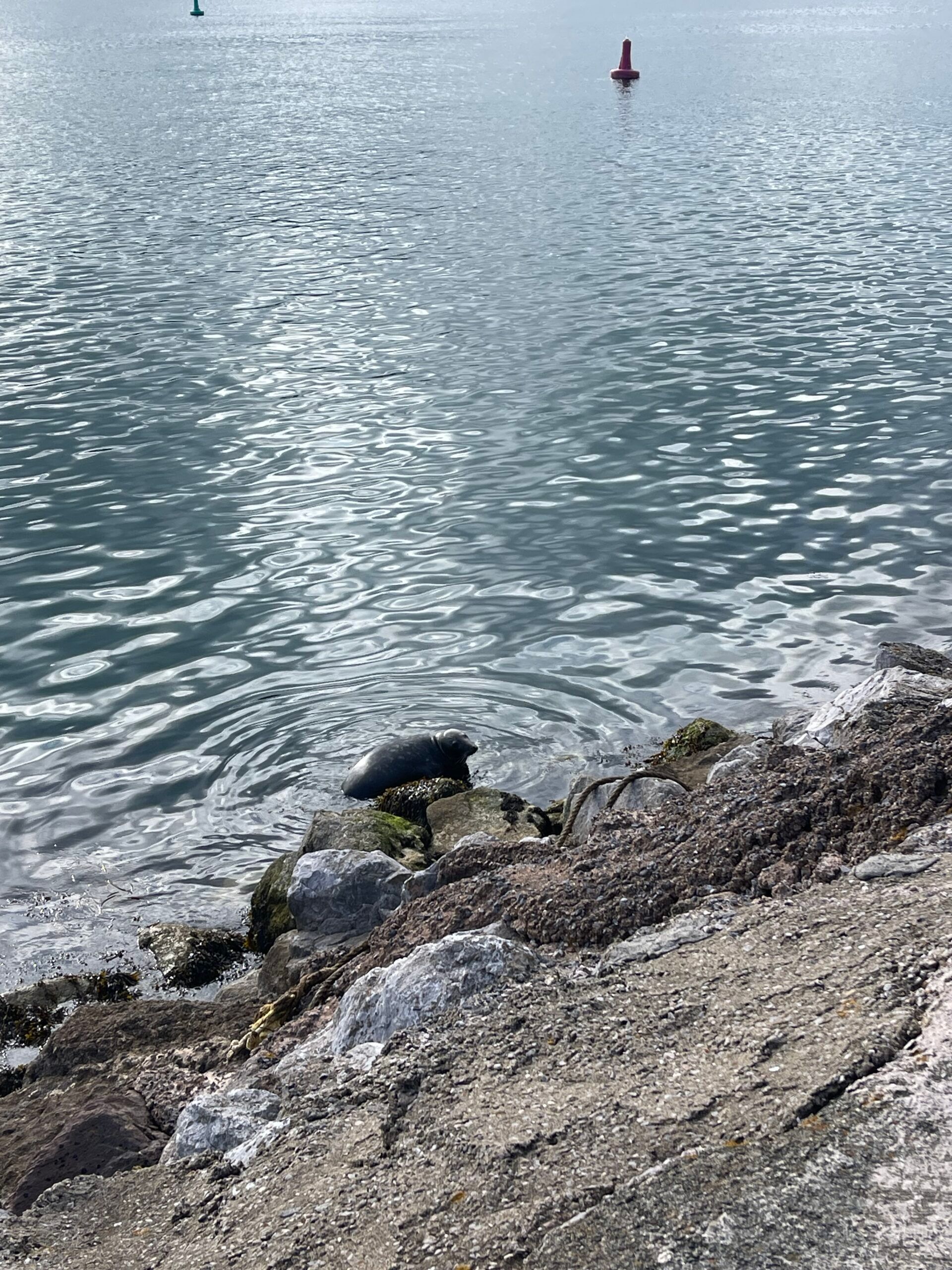
Around 3.5km into this route you’ll arrive at Brownstone Battery – one of the few remaining WWII coastal defence positions. Today it’s home to Froward Point, a coastwatch lookout station manned by volunteers. It’s worth a brief stop here for the opportunity to head inside the lookout and for uninterrupted views out to sea from one of the surviving gun bases (see photo). As you make your way along the coast path on this route, be sure to look out for dolphins and seals swimming in the waters below.
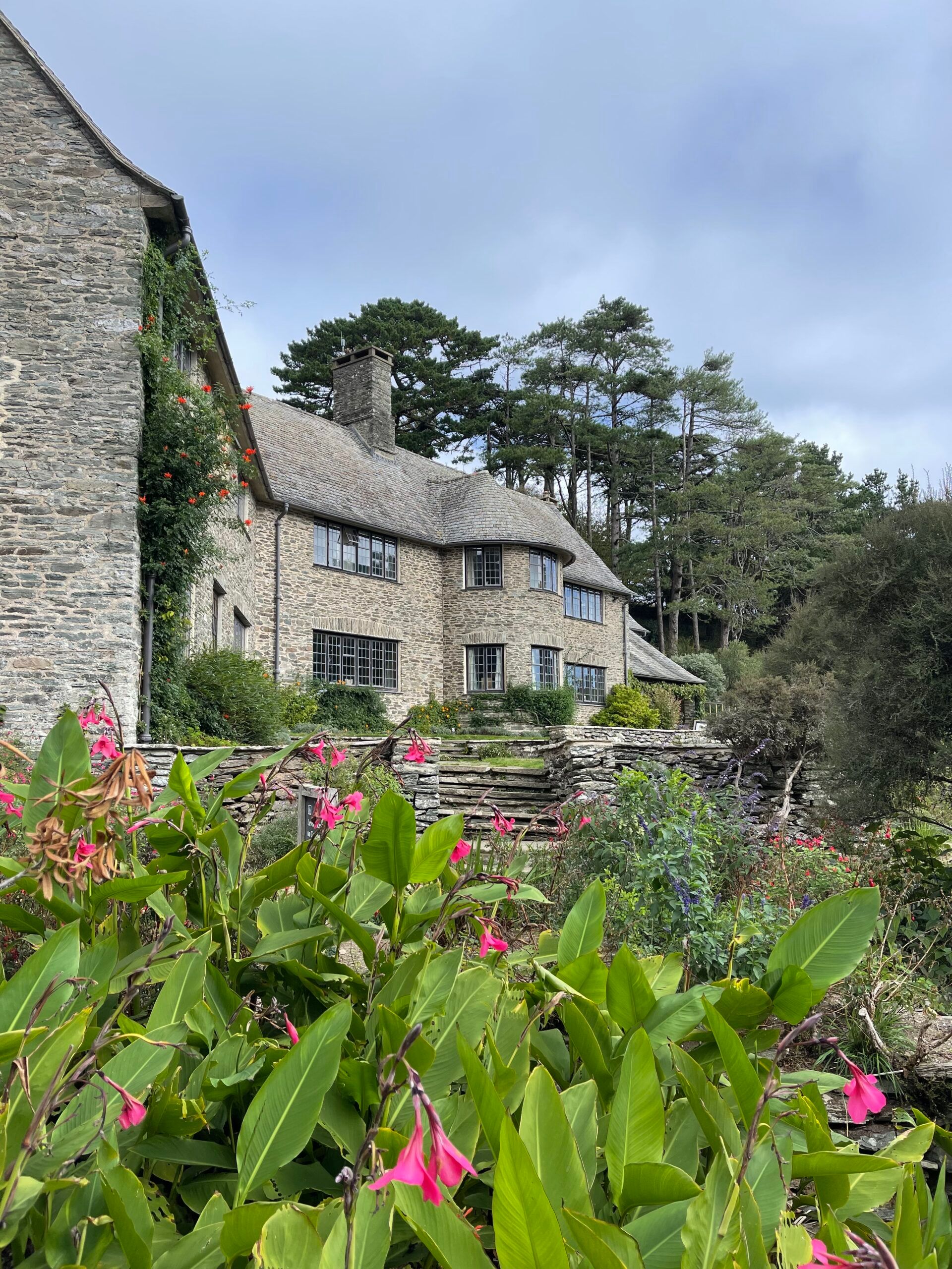
Just before the 6km mark, at Pudcombe Cove, you’ll have the opportunity to take a 10 minute detour off the coast path and head up through a gate into Coleton Fishacre. While 6km might not seem long into the route, this National Trust property is one of the only chances to visit a cafe and toilets on your hike. The walk to the cafe is uphill, but we highly recommend a stop here to refill water bottles, grab a light bite, and use the facilities. Dogs are welcome on lead throughout the gardens, and both inside the cafe and outside on the sun terrace here.
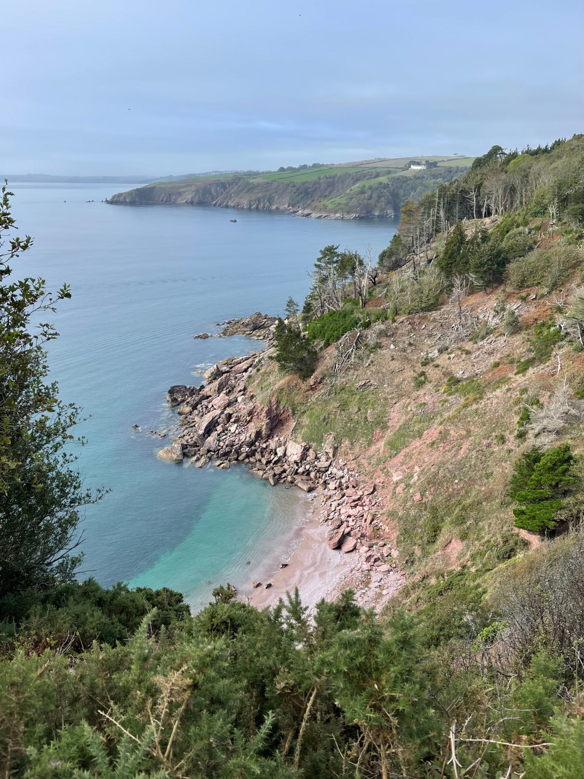
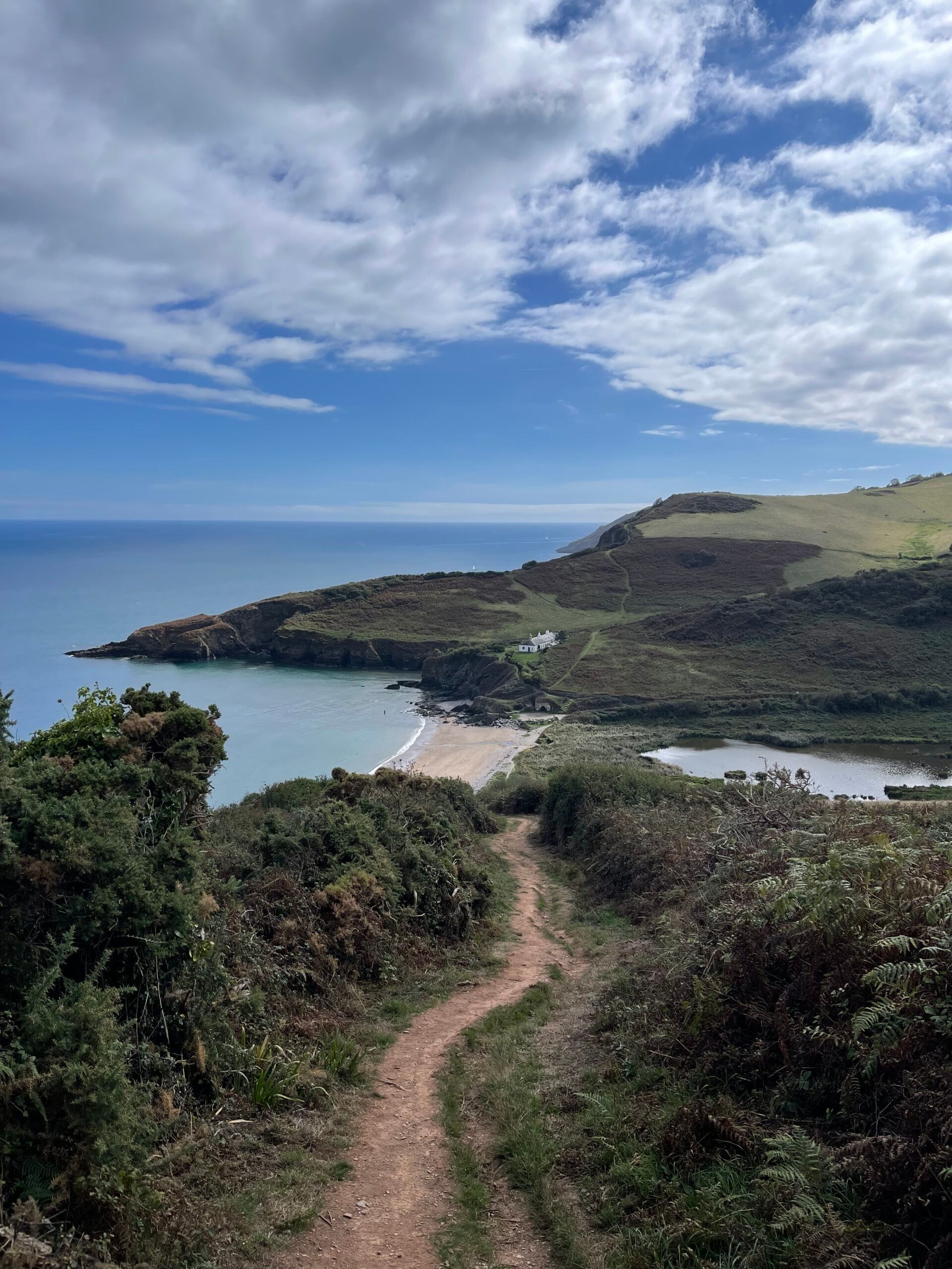
There are many beautiful beaches tucked away along the coastline where you can stop for a rest or a dip in the sea. Around the halfway point, Scabbacombe Sands is a sheltered rest stop on a shingle and sand beach. Further along, around 10km in, Man Sands is another chance to sit and rest awhile before you head up the steep ascent before you. This beach is a particularly tranquil spot, as the nearest parking is a 30 minute walk away and there are no facilities here.
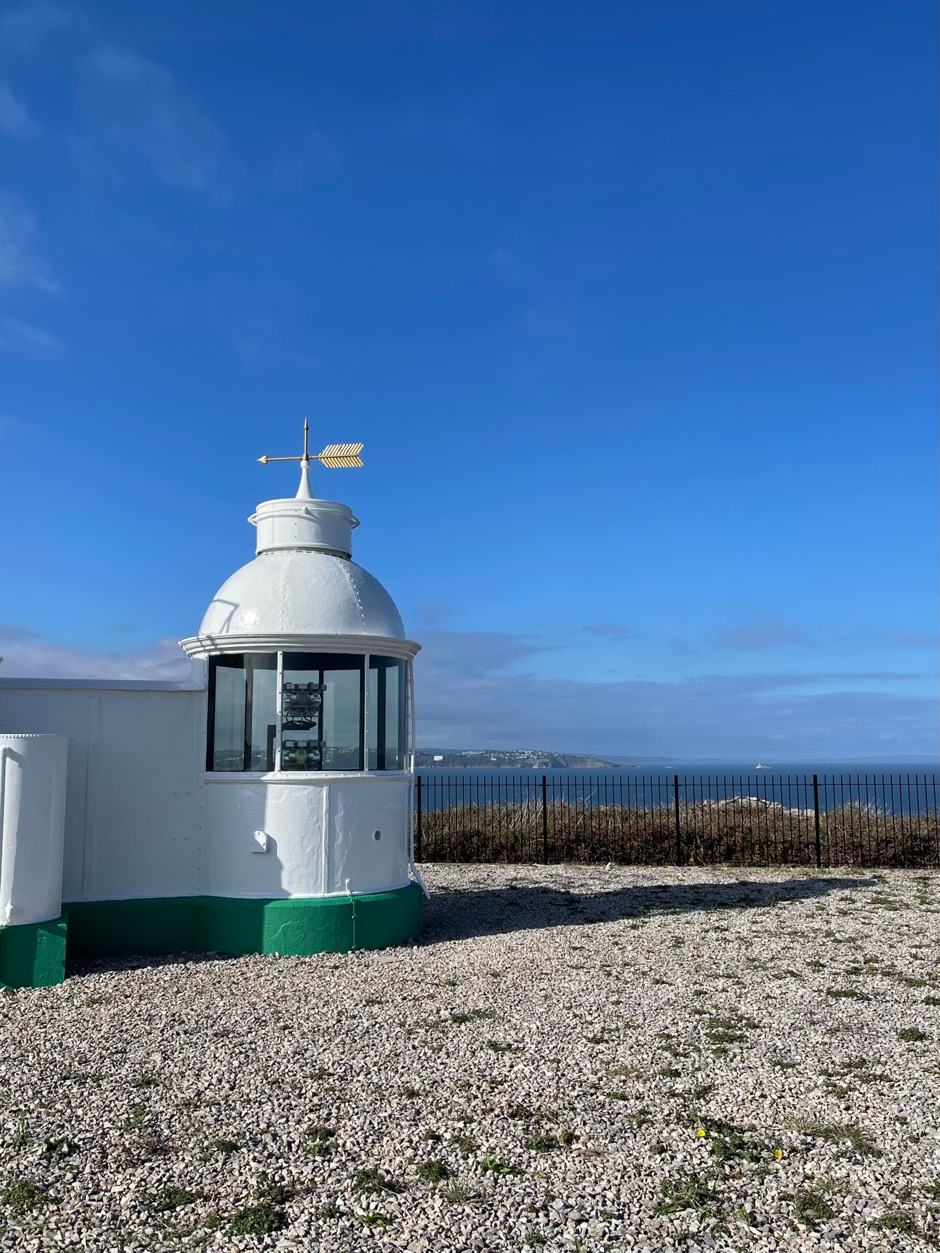
In the last few kilometres of your hike, having already been spoilt with breathtaking coastal views every step of the way, you’ll arrive in Berry Head National Nature Reserve. This stunning headland nature reserve is surrounded by the sea on 3 sides and is home to a variety of wildlife. It’s worth a last quick detour here to admire the coastal views across Torbay and beyond from the lighthouse, which is around 10 minutes’ walk off the path. On your way you’ll pass the Guardhouse Cafe – the last food and facilities stop before descending into Brixham town.
Once you reach Brixham, we highly recommend heading around the colourful marina to Rockfish – an award-winning seafood restaurant and takeaway overlooking the harbour – to reward yourself for a long day’s hike. If you’re planning on staying in Brixham head to our blog post for What to see and do in Brixham, including where to stay and more ideas for things to do in the area.
It’s worth repeating that this hike is a strenuous one – the rugged climbs and exposure to the elements along the coastal path make for a tiring but rewarding day of hiking. Our OS Map route states 4.5 hours to complete this hike, though expect to take closer to 6 hours to allow for rest stops and deviations from the path to visit the limited facilities. We recommend packing plenty of water, which you can refill at Coleton Fishacre or the Guardhouse Cafe, plus lots of snacks to keep you going as you walk as those are the only 2 cafes en route.
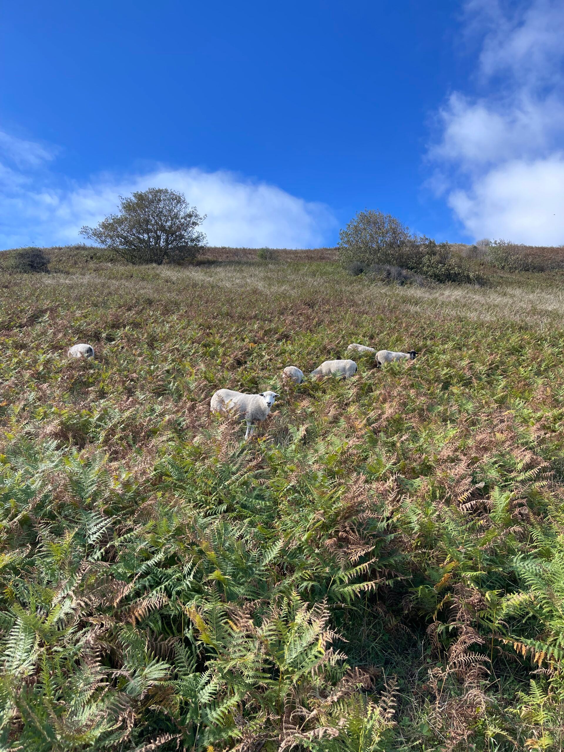
If you’re bringing a dog with you on this hike, it’s vital to ensure you carry enough water for both you and your dog – especially in hot weather. This route is very exposed, so make sure you bring sun cream on sunny days, or a rain jacket in inclement weather! You’ll find sheep grazing along parts of this route, so make sure you keep your dogs under close control and give the animals space. The only dog waste bins are in Kingswear and Brixham at either end of the route, or at the cafes. If you do need to carry bags for a short while, we know just the item to bring with you!
For more in-depth information about this hike, head to our Kingswear to Brixham hike blog post, where you’ll find details of the elevation profile, more firsthand photos, and important tips for your hike.
Photos from this walk




![Chagford to Fingle Bridge circular]()
Chagford to Fingle Bridge circular
Chagford, Dartmoor
This route from the charming market town of Chagford has everything for a postcard-perfect stroll through the Dartmoor countryside, and it’s especially great for dogs. You’ll follow the pretty River Teign, stop off at a 17th-century bridge, and admire fantastic views of the Teign gorge and Castle Drogo. There are plenty of opportunities for wild swimming in the slow waters for you and four-legged friends!
![Laughter Tor and Bellever Tor]()
Laughter Tor and Bellever Tor
Bellever car park, Yelverton
This walk really shows off Dartmoor’s natural beauty. While it’s not the easiest, your efforts will be rewarded with sweeping panoramic views across the moors and Bellever Forest, as well as sightings of wild ponies grazing. Bellever Tor is the real highlight of this route and worth the ascent to reach the top!
![Scorhill and Gidleigh loop]()
Scorhill and Gidleigh loop
Scorhill Farm car park
This is one of our favourite walks in Dartmoor. The route takes you through forests, over streams, up onto the moors and down quiet country lanes. It’s a fantastic walk to get a good taste of wild Dartmoor, heading off the beaten track and away from hoards of people.


