

Devil’s Dyke to Amberley – South Downs Way
All WalksFollowing the South Downs Way from East to West, we’ve split the route into this long section mostly due to the scarcity of public transport in the area. This 29km section will take a full day of hiking, but the terrain is mostly consistent and your efforts are rewarded with stunning views across the South Downs and out to sea. Be sure to wear comfortable, appropriate footwear to take on this part of the route as you’re on your feet for a while, plus chalky, rocky parts of the path can be uneven underfoot.
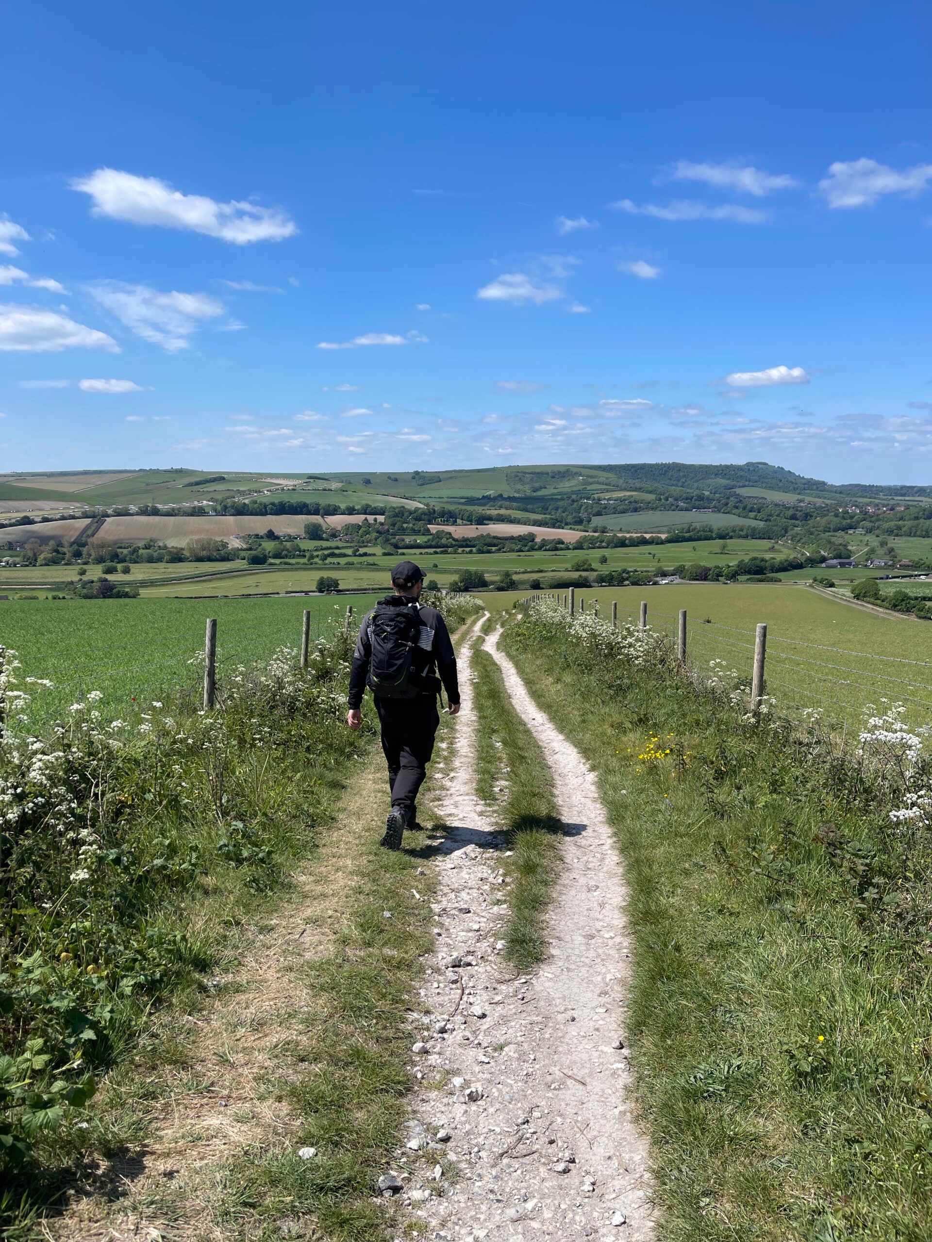
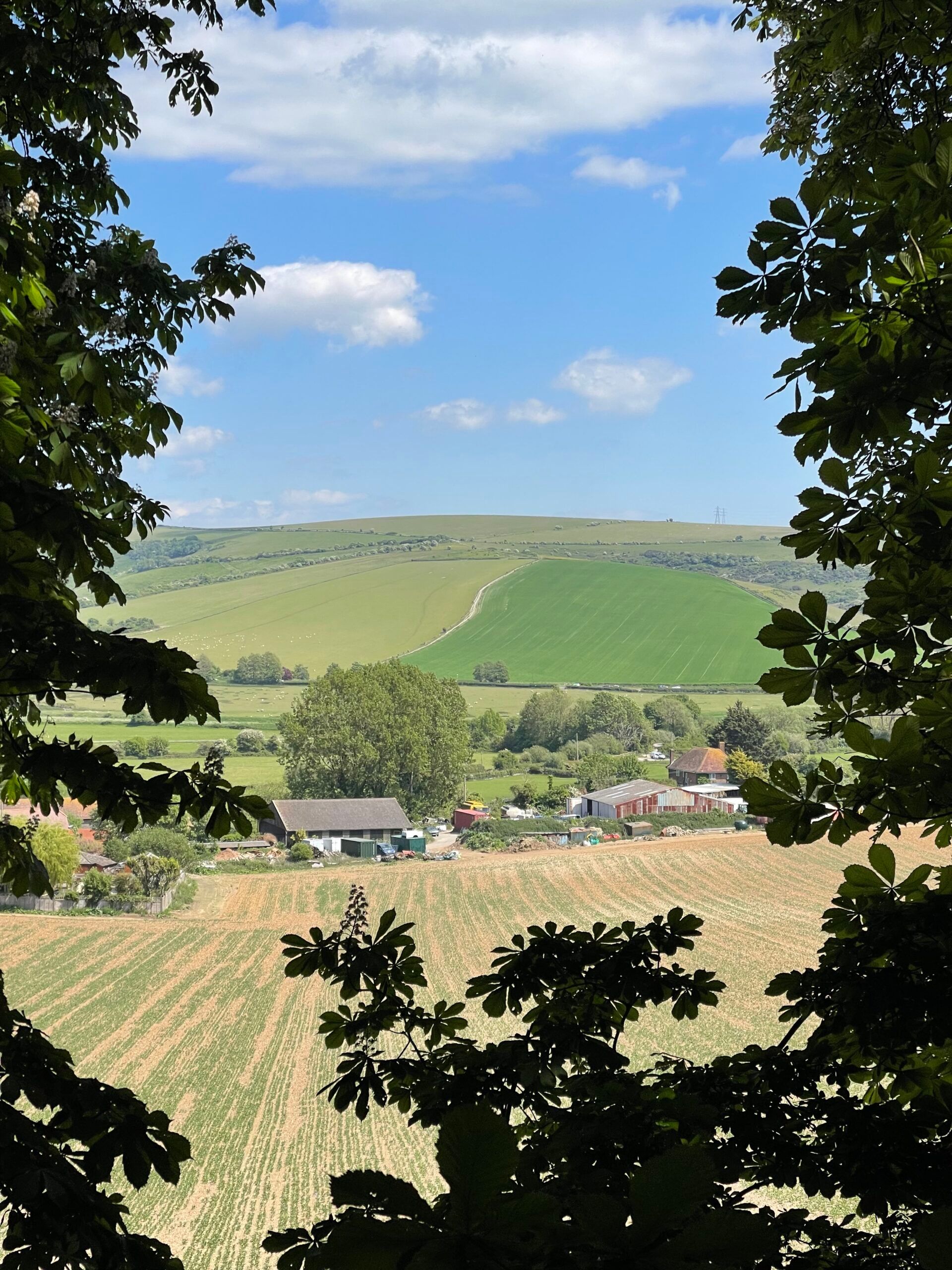
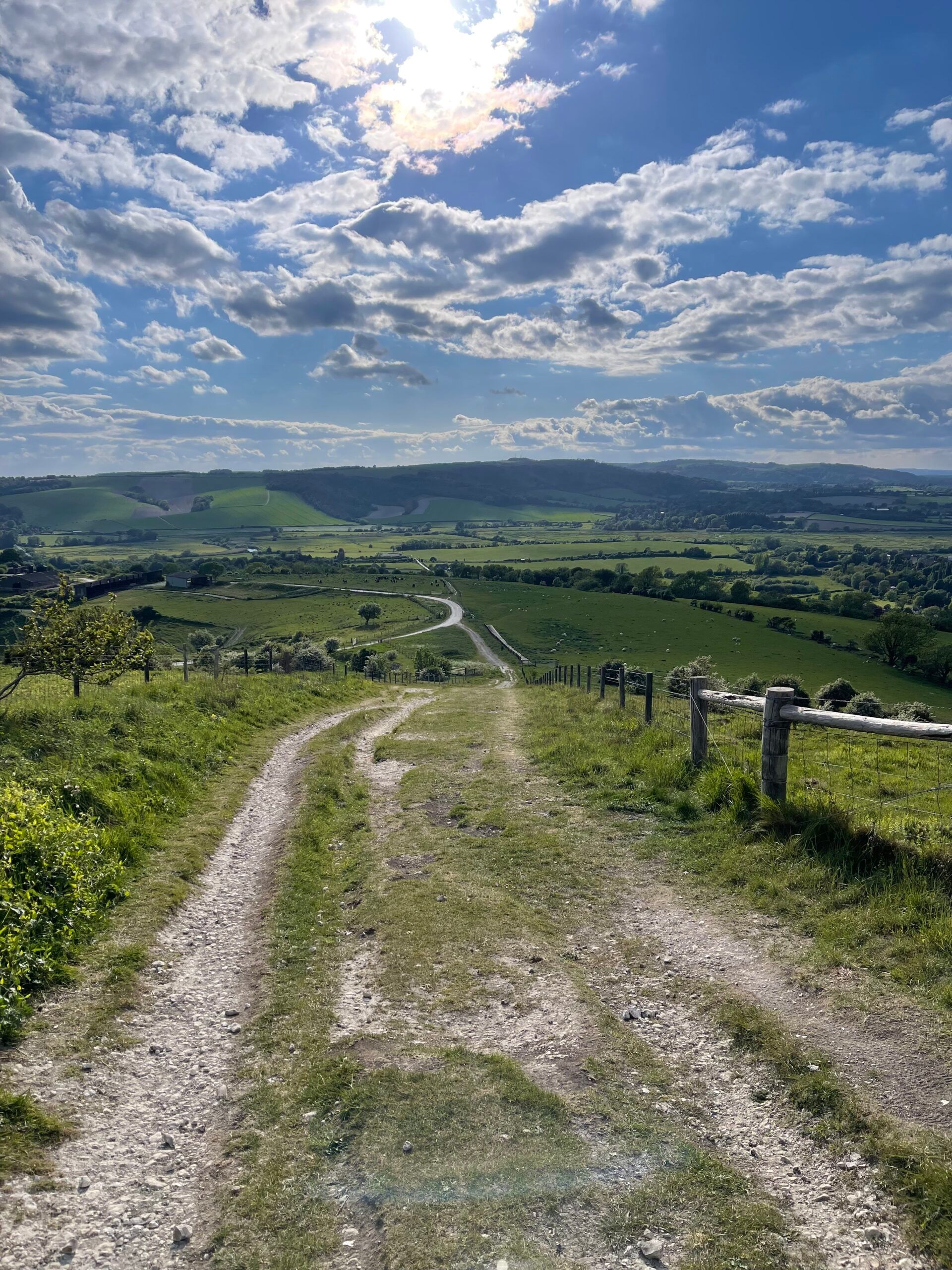
This section of the South Downs Way begins at the picturesque viewpoint of Devil’s Dyke – the longest, widest and deepest dry valley in the UK – and ends at the quaint village of Amberley where the lanes are lined with flint-walled, thatched cottages that date back hundreds of years. Walking along the South Downs Way in this direction, you’ll find the ascents are long and gentle, while the descents are steep – the last stint of walking along the chalky path into Amberley is especially steep in parts, so take care as you descend into the village.
As this is a point-to-point route, we recommend arriving by public transport or taxi to avoid having to circle back to your vehicle. The 77 bus from Brighton travels up to Devil’s Dyke, though only on select days and the timetable changes depending on the time of year. Alternatively the 17 bus runs from Brighton to Poynings, though this requires a 25 minute walk from the bus stop to Devil’s Dyke. For ease, you can take a taxi from Brighton or Hove station with the journey taking around 15 minutes. Once you reach Amberley, there are trains to Brighton as well as to surrounding villages like Arundel.
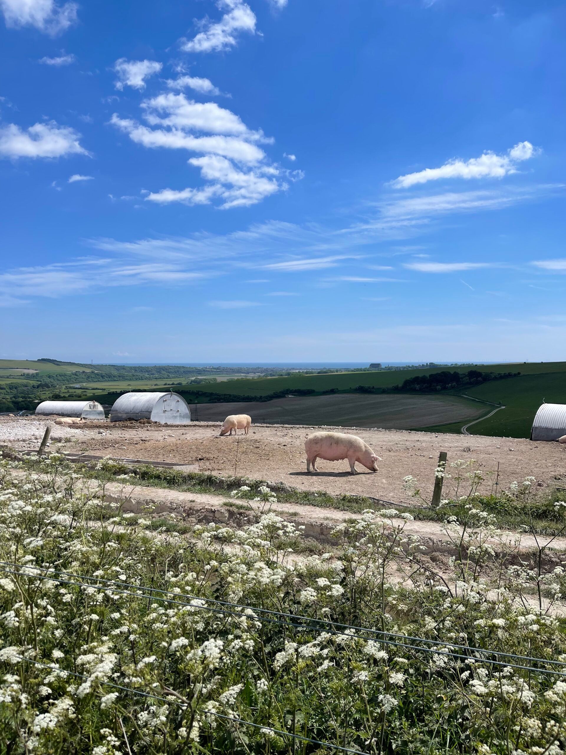
In addition to the breathtaking views along the South Downs on this part of the route, there are many points of interest large and small along this section of the South Downs Way. We recommend taking a moment to enjoy the view of Devil’s Dyke before you begin your hike, said in folklore to have been dug by the devil. As you make your way along the South Downs, you’ll be treated to sweeping views across the countryside inland and out to sea – on a fine day you’ll be able to see Brighton with its i360 observation tower protruding from the skyline. Further along you’ll spot Lancing College Chapel, a grand, Grade I listed building in the Gothic Revival style. After passing the wisteria- and rose-covered flint cottages in Bramber, climbing the hill through the large pig farm, there are views over to Shoreham-by-Sea.
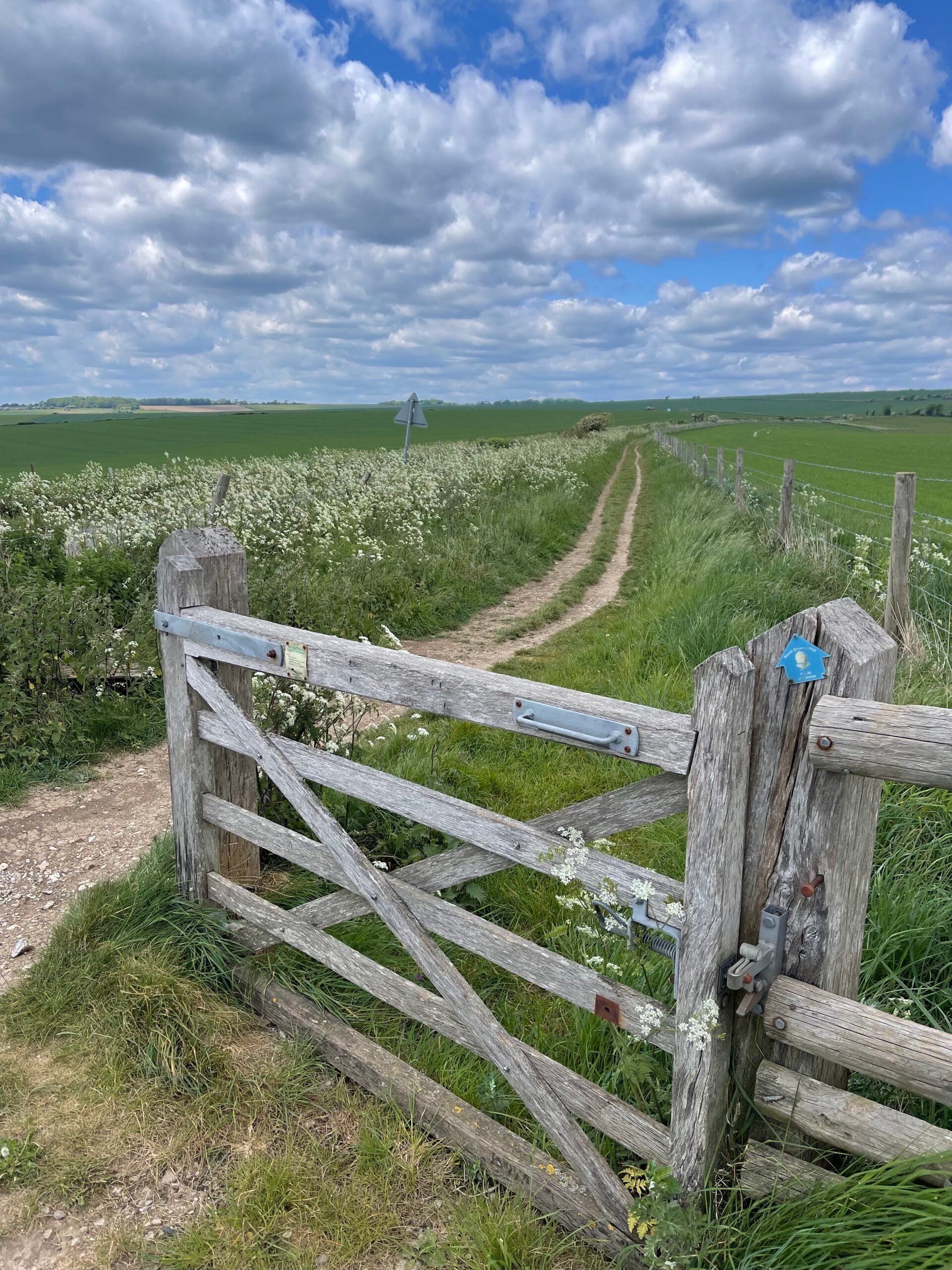
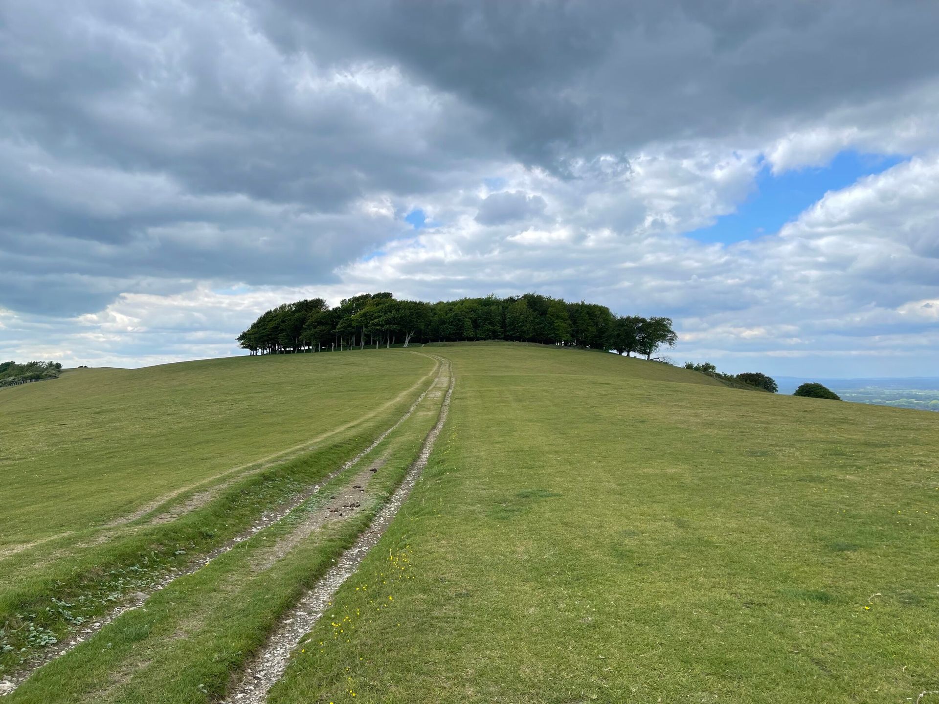
A few benches along the path at Steyning Bowl provide the perfect place to take in the rolling hillside and, just along from here, you’ll find a sweet cobbled memorial to a farmer and his family overlooking the land they once tended to. A large copse of trees atop a hillside marks your arrival at Chanctonbury Ring (see photo) – the site of an Iron Age hillfort believed to date back to the 6th century BC, that is also known for its folklore. It’s said that, when the devil was digging the Devil’s Dyke nearby, mounds of earth landed here and created the exposed hillside mound seen today! As you make your way towards Amberley, you’ll spot the medieval turrets of Arundel Castle as you head along the undulating path.
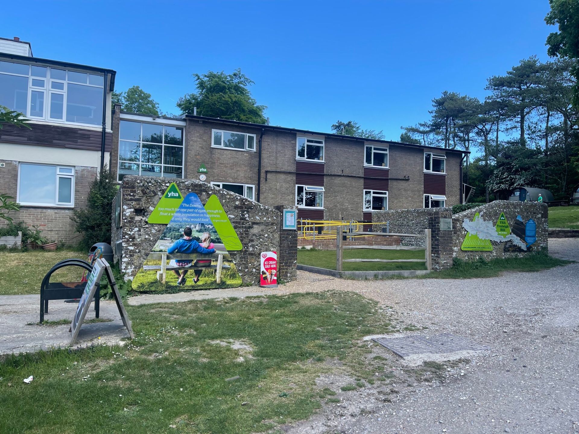
While this section of the route is a long one, you’ll pass through a few towns and villages with facilities should you need them, and food stops to keep you going! At the start of the route, The Devil’s Dyke pub opens late morning every day and offers good country pub food. Take advantage of the facilities here before you start your walk, and top up your water bottles too. Around 4km into this route you’ll come to YHA Truleigh Hill – a hostel that is well-equipped for passing hikers and cyclists. There’s a water tap on the side of the building by the entrance, plus well-maintained toilets that are available to use, as well as vending machines just inside the foyer should you wish to top up your snacks and drinks. We took advantage of all these facilities and stopped to take a look at our guidebook as we sat on one of the benches outside.
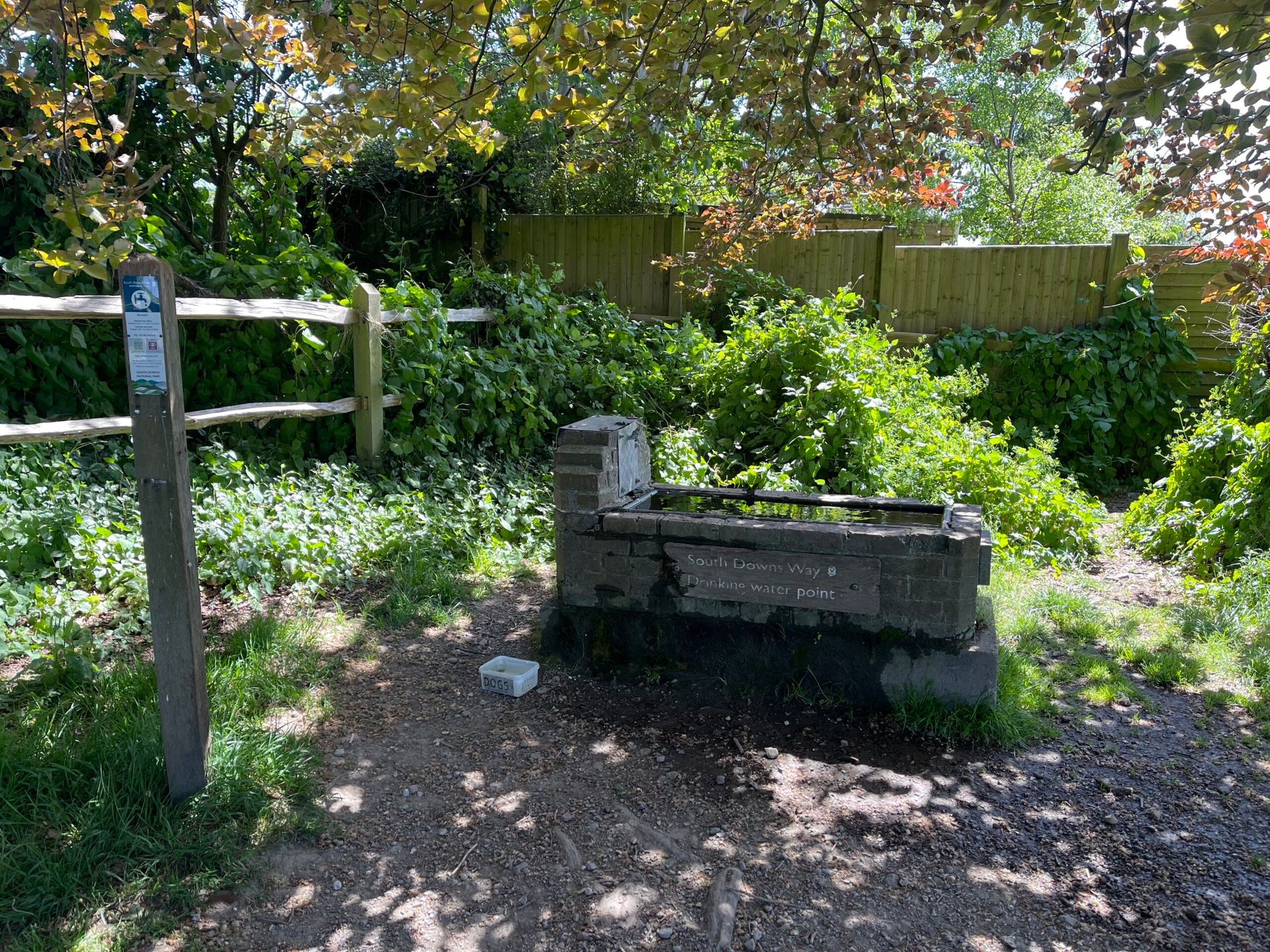
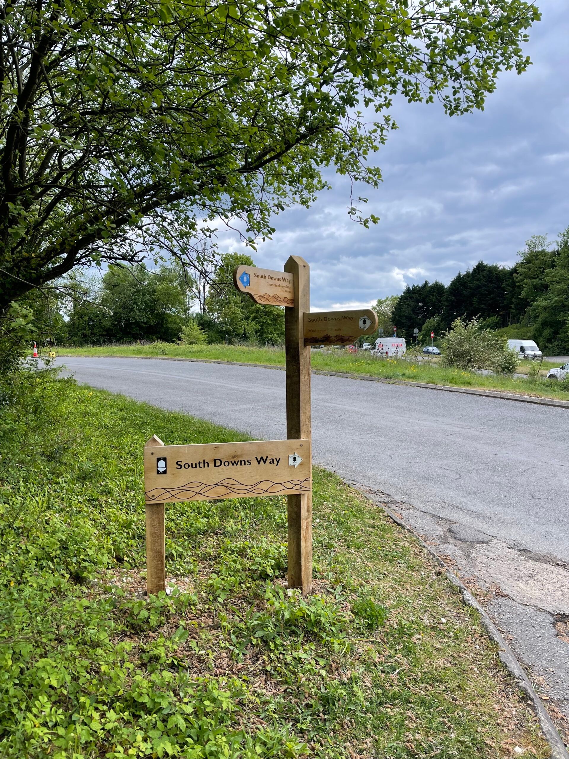
After the descent from Truleigh Hill, there’s a water tap by the River Adur that is one of many purpose-built drinking water stops along the South Downs Way, with a sign letting you know the location of the next closest water stop in either direction en route (see photo). If you’re hiking Friday-Sunday, just before you reach the turning for Washington you’ll find TJ’s snacks – a pop-up cafe with tables and benches under cover right on the side of the path by a small car park. The next village en route with a food stop is then Washington itself, where you’ll find the Frankland Arms serving pub food and lunchtime sandwiches. Once you reach Amberley, the end point of this hike, there are 2 food stops in close proximity to Amberley train station – the highly-rated, traditional Bridge Inn pub, and Riverside Tea Rooms where you can enjoy a relaxing bite to eat on the river after a long day of hiking, or stay in one of their lodges.
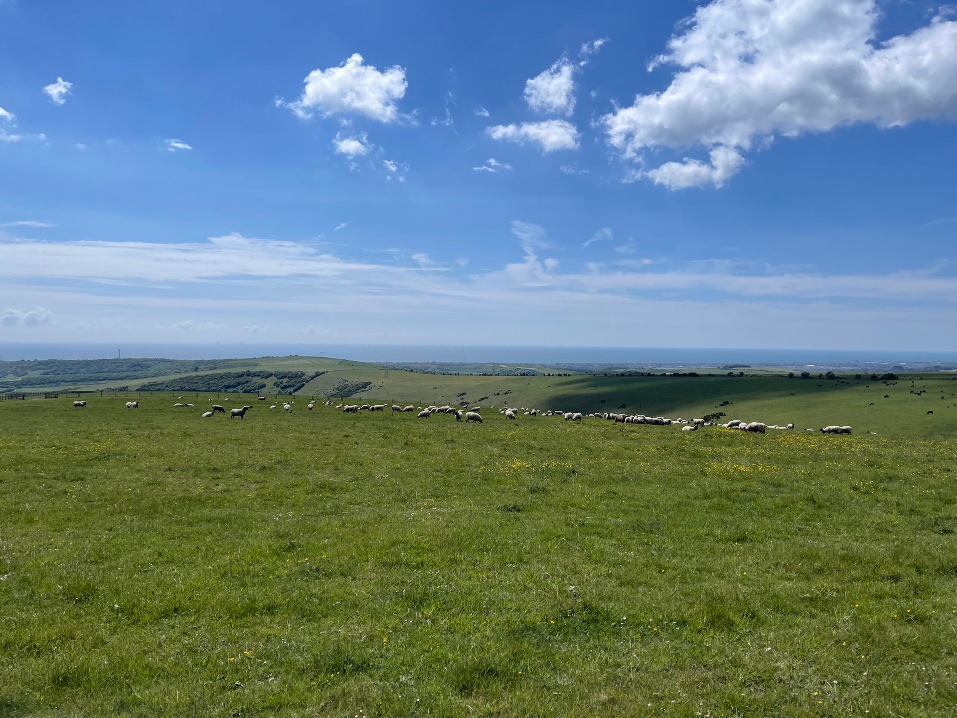
We recommend packing plenty of water bottles to refill along your hike, plus lots of snacks to keep you going as you walk. There are more than a few rest stops along the way to sit and admire the sweeping views as you refuel, including intricately carved, animal-themed benches provided by Friends of the South Downs. If you’re bringing a dog with you on this hike, it’s vital to ensure you carry enough water for both you and your dog – especially in hot weather. The majority of this section of the South Downs is very exposed – make sure you bring sun cream on sunny days, or a rain jacket in inclement weather! You’ll find livestock grazing along many parts of this route, so make sure you keep your dogs under close control and give the animals space. The good news is that this part of the country is very dog-friendly, and you’ll find bins for poo bags in all the towns and villages, so there’s no excuse for leaving them in the countryside. (If you do need to carry them for a short while, we know just the item to bring with you!)
Find more routes following sections of the South Downs Way by searching ‘South Downs Way’ on our Walks page.
Photos from this walk


![Ditchling Beacon to Devil’s Dyke – South Downs Way]()
Ditchling Beacon to Devil’s Dyke – South Downs Way
Ditchling Beacon, Ditchling
One of our shortest days while hiking the South Downs Way, this 10.5km route follows the South Downs Way from the highest point in East Sussex, Ditchling Beacon, to the longest, widest and deepest dry valley in the UK, Devil’s Dyke.
![Southease to Ditchling Beacon – South Downs Way]()
Southease to Ditchling Beacon – South Downs Way
Southease train station, Lewes
A gentle route along a quiet part of the South Downs Way, making for 4 hours of easy hiking despite the exposed nature of the Downs. The panoramic views are stunning as you pass quaint villages, wildflower fields and livestock grazing before arriving at the highest point in East Sussex – Ditchling Beacon.
![Southease to Alfriston – South Downs Way]()
Southease to Alfriston – South Downs Way
Southease train station, Lewes
This easy part of the South Downs Way makes for a pleasant hike. On a clear day, you’ll be treated to panoramic views across the Sussex countryside, over coastal towns, and far out to sea. The terrain underfoot is very easy-going, so you can simply enjoy the scenery as you walk!


